Elevated Views: How Water and Coastlines Shape Maritime and Aerial Accommodation Dynamics
Coastal topographies and marine waters create distinct visual geometries when observed from elevated structures along the shore.
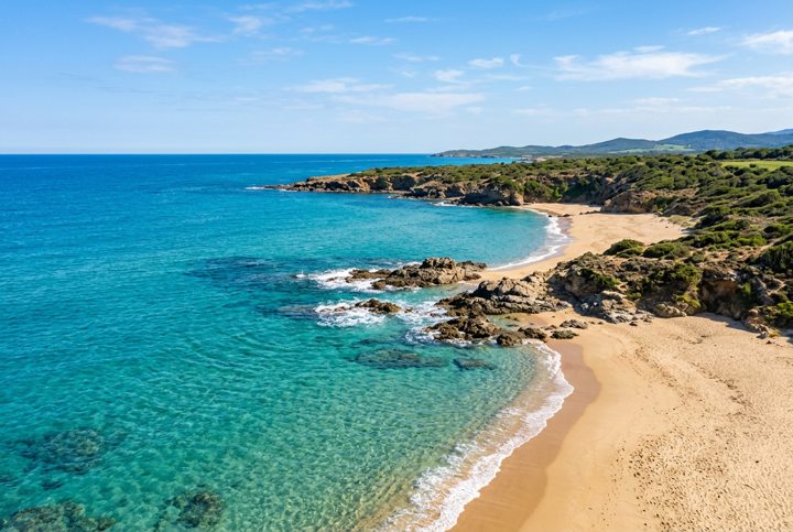
The Marine Environment and Coastal Geography
Coastlines represent the primary natural transition zone between terrestrial landmasses and marine ecosystems. The visual contrast between land and sea is one of the most defined features of coastal geography. From ground level, ocean views remain constrained by the earth's curvature and immediate coastal topography. When observed from elevated positions, such as coastal cliffs, raised architectural frameworks, or converted airframes, the sea reveals intricate patterns of wave dynamics, shallow reef formations, and oceanic sediment movement.
Shallow coastal waters reflect light off sandbars and seabed minerals, producing pale turquoise shades, whereas deep offshore ocean areas absorb longer light wavelengths, creating dense blue tones. This natural color gradient defines coastal corridors around the globe. Coastal landmasses also generate microclimates characterized by sea breezes, localized mist, and atmospheric humidity. These natural forces directly dictate how coastal lodgings and temporary structures are engineered to handle weather exposure.
Maritime Aviation and Ocean Access
The relationship between sea environments and rotary-wing aviation involves a long history of maritime transport engineering. Aircraft designed for coastal or offshore operations were built to bridge the gap between land facilities, naval vessels, and isolated coastal outposts. Operating in marine environments requires specific engineering adaptations, including anti-corrosion treatments against airborne sea salt, wind-resistant structural airframes, and broad glass cockpits designed for expansive line-of-sight monitoring over open water.
These operational characteristics influenced the visual language of maritime aviation. Coastal flight paths generally mirror the natural contours of shorelines, allowing observers from airborne positions or raised coastal shelters to view ocean currents, littoral erosion, and marine traffic. The elevation provided by aircraft-inspired designs offers a comprehensive view of how water currents interact with shoreline geology.
Shoreline Design and Visual Light Dynamics
Architectural concepts placed along sea borders depend heavily on the continuous reflection of natural light off the broad ocean surface. Sunlight striking open water creates constantly changing ambient light conditions throughout the morning and afternoon hours. Structures erected along coastal edges incorporate expansive window layouts to capture horizon shifts and wide oceanic perspectives from above.
The physical properties of sea air require construction materials capable of resisting moisture and salt accumulation. Designers frequently select marine-grade aluminum alloys, treated hardwoods, and heavy-duty glass. Hydrodynamic and aerodynamic profiles are often integrated into coastal lodging structures to reduce wind resistance during severe oceanic weather events. By raising living spaces above the high-tide line, shoreline installations secure expansive sea views while protecting the structural foundation from coastal erosion and tidal shifts.
Harbors and Navigable Coastal Waterways
Beyond natural shorelines, man-made harbor installations alter the relationship between land and water. Dredged channels, breakwaters, and marine basins establish sheltered sea environments that accommodate vessel traffic alongside urban developments. These coastal engineering projects shape the layout of waterfront zones, creating controlled waterways where calm seas meet modern architecture.
Exploring coastal waterways provides a different perspective on maritime geography compared to elevated land positions. In Dubai, maritime travel along engineered channels allows observers to examine coastal development directly from the water. See here to review available vessel charters offered by Marina Zenith. Passing through these channels provides clear sightlines toward the urban skyline and the extensive berth infrastructure within Dubai Marina.
The ongoing interplay between sea, air, and shore shapes how coastal environments are understood, engineered, and observed from both land and water.